
Stonegate topographic map
Interactive map
Click on the map to display elevation.


About this map
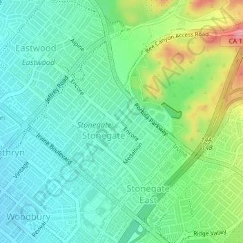
Name: Stonegate topographic map, elevation, terrain.
Location: Stonegate, Irvine, Orange County, California, USA (33.69856 -117.75093 33.71707 -117.73045)
Average elevation: 104 m
Minimum elevation: 67 m
Maximum elevation: 196 m