
錦町 topographic map
Interactive map
Click on the map to display elevation.
About this map
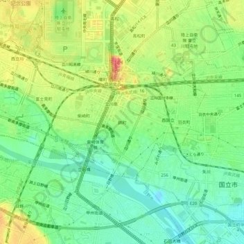
Name: 錦町 topographic map, elevation, terrain.
Location: 錦町, 立川市, 东京都/東京都, 192-0022, 日本 (35.67212 139.39481 35.71212 139.43481)
Average elevation: 81 m
Minimum elevation: 54 m
Maximum elevation: 120 m