Geolocate

Camayse topographic map

Click on the map to display elevation.

About this map

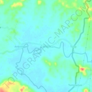
Name: Camayse topographic map, elevation, terrain.

Location: Camayse, Santa Rita, Samar, Eastern Visayas, Philippines (11.44929 124.98748 11.48929 125.02748)

Average elevation: 12 m

Minimum elevation: 0 m

Maximum elevation: 64 m

Gear up for your next adventure:

🗺️Ordnance Survey Maps - Essential paper maps for hiking across the UK national parks
🚶Walking Pedometers - Simple distance tracking for casual trail walkers
🔦Waterproof LED Headlamps - Hands-free lighting for evening treks and emergency navigation
🧺Ultralight Dry Bags - Organize and waterproof your gear inside your rucksack
GPS Outdoor Watches - Watches with GPS tracking for hiking and exploration

As an Amazon Associate, this site earns from qualifying purchases at no extra cost to you.