
النعامي topographic map
Interactive map
Click on the map to display elevation.
About this map
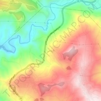
Name: النعامي topographic map, elevation, terrain.
Location: النعامي, Mestabah Sub-District, Qasabah Jerash, Jarash, Jordan (32.17693 35.84767 32.21693 35.88767)
Average elevation: 445 m
Minimum elevation: 163 m
Maximum elevation: 707 m