
Nankoma topographic map
Interactive map
Click on the map to display elevation.
About this map
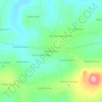
Name: Nankoma topographic map, elevation, terrain.
Location: Nankoma, Bugiri, Eastern Region, Uganda (0.42833 33.65861 0.46833 33.69861)
Average elevation: 1,182 m
Minimum elevation: 1,137 m
Maximum elevation: 1,293 m