
Chandrupatla topographic map
Interactive map
Click on the map to display elevation.
About this map
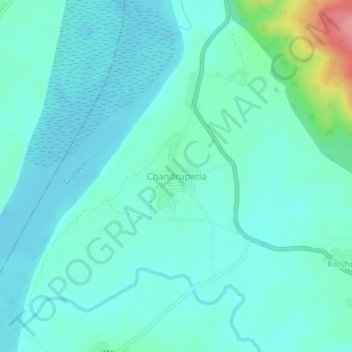
Name: Chandrupatla topographic map, elevation, terrain.
Location: Chandrupatla, Wazeed mandal, Mulugu District, Telangana, India (18.53359 80.38273 18.57359 80.42273)
Average elevation: 87 m
Minimum elevation: 69 m
Maximum elevation: 173 m