
Chame topographic map
Interactive map
Click on the map to display elevation.
About this map
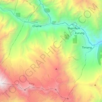
Name: Chame topographic map, elevation, terrain.
Location: Chame, Manang, Gandaki Province, Nepal (28.47093 84.18697 28.57544 84.31475)
Average elevation: 4,025 m
Minimum elevation: 2,166 m
Maximum elevation: 6,495 m
Other topographic maps
Click on a map to view its topography, its elevation and its terrain.