
Darke Lake topographic map
Interactive map
Click on the map to display elevation.
About this map
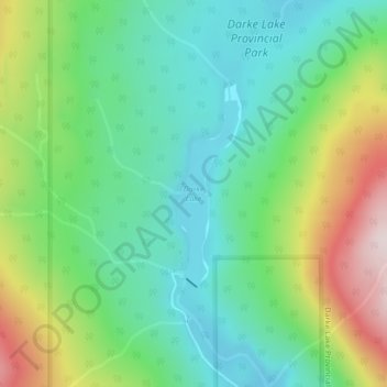
Name: Darke Lake topographic map, elevation, terrain.
Average elevation: 1,029 m
Minimum elevation: 869 m
Maximum elevation: 1,363 m
Other topographic maps
Click on a map to view its topography, its elevation and its terrain.
West Bench
Canada > British Columbia > Regional District of Okanagan-Similkameen > Area F (Trout Creek Valley)
Average elevation: 539 m