
Chattahoochee County topographic map
Interactive map
Click on the map to display elevation.
About this map
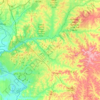
Name: Chattahoochee County topographic map, elevation, terrain.
Location: Chattahoochee County, Georgia, United States (32.22083 -85.00730 32.53621 -84.63729)
Average elevation: 123 m
Minimum elevation: 57 m
Maximum elevation: 232 m
Other topographic maps
Click on a map to view its topography, its elevation and its terrain.
Dykes Pond
United States > Georgia > Chattahoochee County > Chattahoochee County
Average elevation: 124 m