
瑞穗町 topographic map
Interactive map
Click on the map to display elevation.
About this map
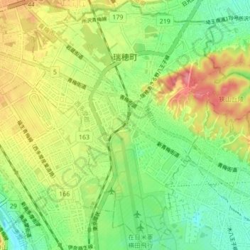
Name: 瑞穗町 topographic map, elevation, terrain.
Location: 瑞穗町, 西多摩郡, 东京都/東京都, 日本 (35.74124 139.31778 35.79641 139.38154)
Average elevation: 144 m
Minimum elevation: 108 m
Maximum elevation: 190 m
Other topographic maps
Click on a map to view its topography, its elevation and its terrain.