
Humenné topographic map
Interactive map
Click on the map to display elevation.
About this map
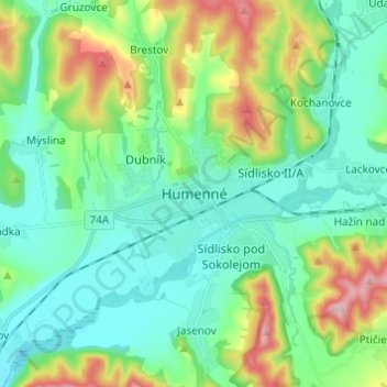
Name: Humenné topographic map, elevation, terrain.
Location: Humenné, Region of Prešov, Eastern Slovakia, 066 01, Slovakia (48.89500 21.86203 48.97500 21.94203)
Average elevation: 208 m
Minimum elevation: 131 m
Maximum elevation: 427 m