
Ranpur topographic map
Interactive map
Click on the map to display elevation.
About this map
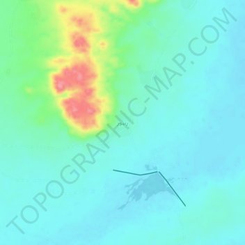
Name: Ranpur topographic map, elevation, terrain.
Location: Ranpur, Tharparkar District, Sindh, Pakistan (24.34500 70.84500 24.38500 70.88500)
Average elevation: 40 m
Minimum elevation: 19 m
Maximum elevation: 116 m