
River Great Ouse or Ely Ouse topographic map
Interactive map
Click on the map to display elevation.
About this map
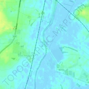
Name: River Great Ouse or Ely Ouse topographic map, elevation, terrain.
Average elevation: 4 m
Minimum elevation: -4 m
Maximum elevation: 15 m
Cambridgeshire trails, hiking, mountain biking, running and outdoor activities