
Farro topographic map
Interactive map
Click on the map to display elevation.
About this map
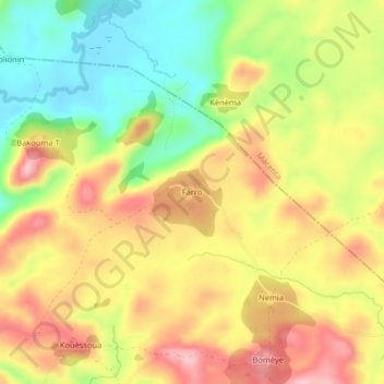
Name: Farro topographic map, elevation, terrain.
Location: Farro, Guéckédou, Región de Nzérékoré, Guinea (8.60913 -9.93946 8.64913 -9.89946)
Average elevation: 547 m
Minimum elevation: 454 m
Maximum elevation: 634 m