
Kronenberg topographic map
Interactive map
Click on the map to display elevation.
About this map
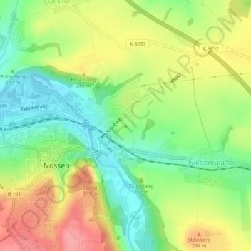
Name: Kronenberg topographic map, elevation, terrain.
Location: Kronenberg, Nossen, Meißen, Saksen, 01683, Duitsland (51.06084 13.30989 51.06094 13.30999)
Average elevation: 261 m
Minimum elevation: 214 m
Maximum elevation: 318 m