
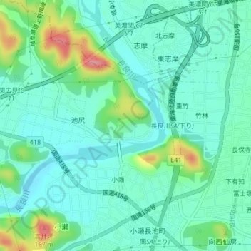
弥勒寺公園 topographic map
Interactive map
Click on the map to display elevation.
About this map
Name: 弥勒寺公園 topographic map, elevation, terrain.
Location: 弥勒寺公園, 池尻, 小瀬, 關市, 岐阜县, 中部地方, 日本 (35.50526 136.89074 35.50673 136.89297)
Average elevation: 65 m
Minimum elevation: 39 m
Maximum elevation: 143 m