
Pacific Junction topographic map
Interactive map
Click on the map to display elevation.
About this map
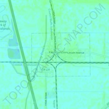
Name: Pacific Junction topographic map, elevation, terrain.
Location: Pacific Junction, Mills County, Iowa, United States (41.01265 -95.80902 41.02346 -95.78979)
Average elevation: 291 m
Minimum elevation: 288 m
Maximum elevation: 295 m
Other topographic maps
Click on a map to view its topography, its elevation and its terrain.
Silver City
United States > Iowa > Mills County
Silver City, Mills County, Iowa, United States
Average elevation: 333 m