Geolocate

Ballintemple topographic map

Click on the map to display elevation.

About this map

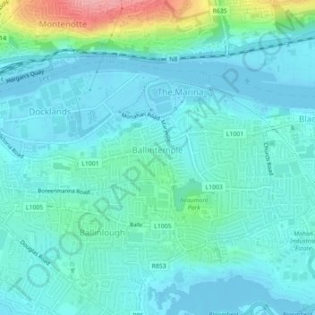
Name: Ballintemple topographic map, elevation, terrain.

Location: Ballintemple, Knockrea A, Cork, County Cork, Munster, Ireland (51.88885 -8.45073 51.89938 -8.42445)

Average elevation: 20 m

Minimum elevation: -4 m

Maximum elevation: 115 m

Other topographic maps

Click on a map to view its topography, its elevation and its terrain.

Elizabeth Fort

Ireland > County Cork > Cork

Average elevation: 28 m

Cork

Ireland > County Cork > Cork

Average elevation: 94 m

Ballincollig

Ireland > County Cork > Cork

Average elevation: 62 m

Gear up for your next adventure:

🔋Solar Chargers - Eco-friendly charging solutions for outdoor use
🧤Thermal Touchscreen Gloves - Stay warm while operating your GPS or smartphone camera
🛌Sleeping Mats - Insulated mats for comfortable outdoor sleeping
🧢Waterproof Hiking Hats - Keep the rain off your face while studying topographic maps
🥤Hydration Bladders - Hands-free hydration systems for backpacks

As an Amazon Associate, this site earns from qualifying purchases at no extra cost to you.