
El Manzanillal topographic map
Interactive map
Click on the map to display elevation.
About this map
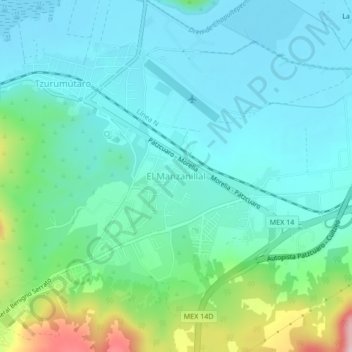
Name: El Manzanillal topographic map, elevation, terrain.
Location: El Manzanillal, Pátzcuaro, Michoacán, 61615, México (19.51603 -101.59594 19.55603 -101.55594)
Average elevation: 2,098 m
Minimum elevation: 2,038 m
Maximum elevation: 2,321 m
Other topographic maps
Click on a map to view its topography, its elevation and its terrain.