
Kettleshulme topographic map
Interactive map
Click on the map to display elevation.
About this map
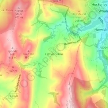
Name: Kettleshulme topographic map, elevation, terrain.
Average elevation: 296 m
Minimum elevation: 165 m
Maximum elevation: 418 m
Other topographic maps
Click on a map to view its topography, its elevation and its terrain.
Knutsford
Vereinigtes Königreich > England > Cheshire East
Knutsford, Cheshire East, England, Vereinigtes Königreich
Average elevation: 57 m