
Muhafazat al Wadi al Jadid topographic map
Interactive map
Click on the map to display elevation.
About this map
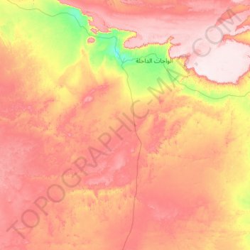
Name: Muhafazat al Wadi al Jadid topographic map, elevation, terrain.
Location: Muhafazat al Wadi al Jadid, Neues Tal, Ägypten (23.98915 28.00195 25.98915 30.00195)
Average elevation: 323 m
Minimum elevation: 94 m
Maximum elevation: 595 m
Other topographic maps
Click on a map to view its topography, its elevation and its terrain.