Geolocate

Agali topographic map

Click on the map to display elevation.

About this map

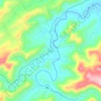
Name: Agali topographic map, elevation, terrain.

Location: Agali, Mannarkad, Palakkad District, Kerala, 678581, India (11.08571 76.63476 11.12571 76.67476)

Average elevation: 589 m

Minimum elevation: 497 m

Maximum elevation: 793 m

Other topographic maps

Click on a map to view its topography, its elevation and its terrain.

Silent Valley National Park

India > Kerala > Mannarkad

Average elevation: 1,103 m

Gear up for your next adventure:

🥾Walking Shoes - Lightweight walking shoes for countryside and coastal paths
🗺️Ordnance Survey Maps - Essential paper maps for hiking across the UK national parks
Camping Shelters - Emergency and lightweight shelters for outdoor use
🌦️Portable Weather Meters - Handheld tools for monitoring weather conditions
🔋Lithium AA Batteries - Long-lasting power that performs well in cold mountain weather

As an Amazon Associate, this site earns from qualifying purchases at no extra cost to you.