
Kami topographic map
Interactive map
Click on the map to display elevation.
About this map
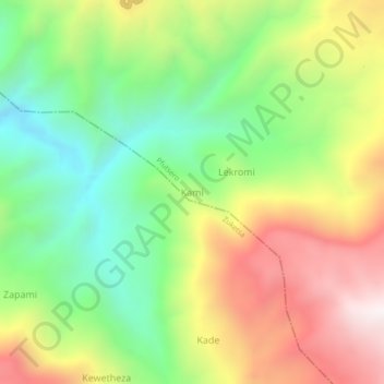
Name: Kami topographic map, elevation, terrain.
Location: Kami, Pfutsero, Phek District, Nagaland, 797107, India (25.52600 94.24610 25.56600 94.28610)
Average elevation: 1,666 m
Minimum elevation: 1,181 m
Maximum elevation: 2,290 m