
Aulosen topographic map
Interactive map
Click on the map to display elevation.
About this map
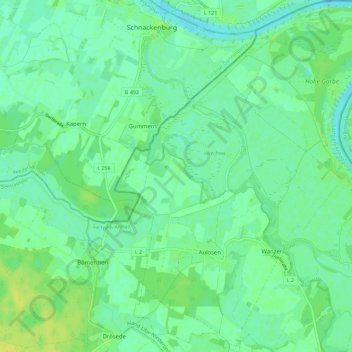
Name: Aulosen topographic map, elevation, terrain.
Average elevation: 20 m
Minimum elevation: 12 m
Maximum elevation: 32 m
Other topographic maps
Click on a map to view its topography, its elevation and its terrain.
Pollitz
Deutschland > Sachsen-Anhalt > Aland > Pollitz
Pollitz, Aland, Seehausen, Stendal, Sachsen-Anhalt, Deutschland
Average elevation: 20 m