
Lubuk Gayung topographic map
Interactive map
Click on the map to display elevation.
About this map
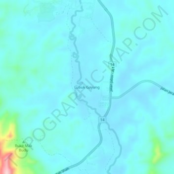
Name: Lubuk Gayung topographic map, elevation, terrain.
Location: Lubuk Gayung, Kemaman District, Terengganu, Malaysia (4.36559 103.23765 4.40559 103.27765)
Average elevation: 36 m
Minimum elevation: 13 m
Maximum elevation: 220 m
Other topographic maps
Click on a map to view its topography, its elevation and its terrain.
Sungai Kandang Rusa
Malaysia > Terengganu > Kemaman District > Kampung Semayor
Average elevation: 32 m