
Zambai topographic map
Interactive map
Click on the map to display elevation.
About this map
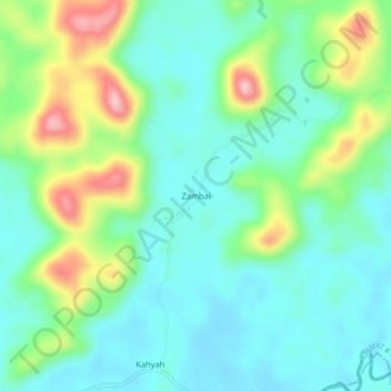
Name: Zambai topographic map, elevation, terrain.
Location: Zambai, District # 4, Grand Bassa County, Liberia (6.15804 -9.50350 6.19804 -9.46350)
Average elevation: 192 m
Minimum elevation: 136 m
Maximum elevation: 332 m
Other topographic maps
Click on a map to view its topography, its elevation and its terrain.
David
Liberia > Grand Bassa County > District # 4 > Gio Town > David
David, Gio Town, District # 4, Grand Bassa County, Liberia
Average elevation: 33 m