
Tomești topographic map
Interactive map
Click on the map to display elevation.
About this map
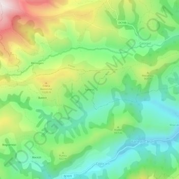
Name: Tomești topographic map, elevation, terrain.
Location: Tomești, Bârlești-Cătun, Mogoș, Alba, 517497, Romania (46.27935 23.34423 46.31935 23.38423)
Average elevation: 865 m
Minimum elevation: 638 m
Maximum elevation: 1,273 m