
Unakoti topographic map
Interactive map
Click on the map to display elevation.
About this map
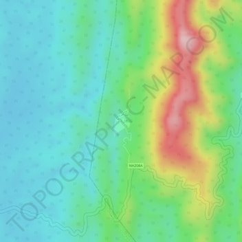
Name: Unakoti topographic map, elevation, terrain.
Location: Unakoti, Panisagar, North Tripura, Tripura, India (24.31525 92.06562 24.31798 92.06759)
Average elevation: 112 m
Minimum elevation: 32 m
Maximum elevation: 285 m
Other topographic maps
Click on a map to view its topography, its elevation and its terrain.
Dharmanagar
Dharmanagar, Panisagar, North Tripura, Tripura, 799250, India
Average elevation: 33 m