
文东街道 topographic map
Interactive map
Click on the map to display elevation.
About this map
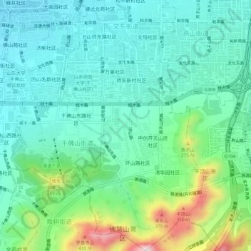
Name: 文东街道 topographic map, elevation, terrain.
Location: 文东街道, 历下区, 济南市, 山东省, 250000, 中国 (36.62610 117.03067 36.66379 117.05769)
Average elevation: 129 m
Minimum elevation: 31 m
Maximum elevation: 432 m
Other topographic maps
Click on a map to view its topography, its elevation and its terrain.