
Giharo topographic map
Interactive map
Click on the map to display elevation.
About this map
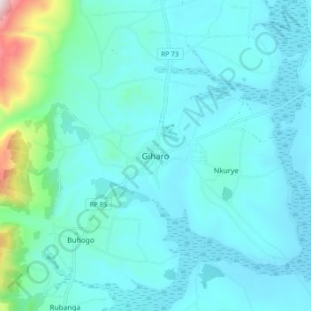
Name: Giharo topographic map, elevation, terrain.
Location: Giharo, Rutana, Burundi (-3.82024 30.19536 -3.74024 30.27536)
Average elevation: 1,251 m
Minimum elevation: 1,159 m
Maximum elevation: 1,889 m
Other topographic maps
Click on a map to view its topography, its elevation and its terrain.