
Patan topographic map
Interactive map
Click on the map to display elevation.
About this map
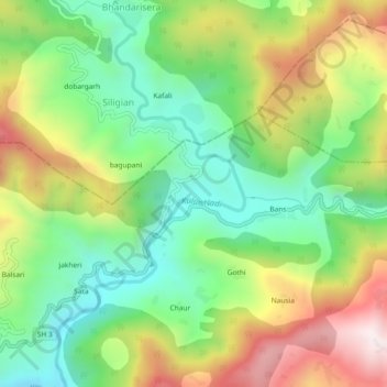
Name: Patan topographic map, elevation, terrain.
Average elevation: 1,333 m
Minimum elevation: 1,000 m
Maximum elevation: 1,835 m
Other topographic maps
Click on a map to view its topography, its elevation and its terrain.
PATAN
India > Uttarakhand > Gangolihat > PATAN
PATAN, Gangolihat, Pithoragarh district, Uttarakhand, India
Average elevation: 1,250 m