
Sengge topographic map
Interactive map
Click on the map to display elevation.
About this map
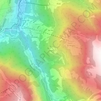
Name: Sengge topographic map, elevation, terrain.
Location: Sengge, Gspon, Staldenried, Visp, Wallis, 3933, Schweiz (46.20148 7.87089 46.24148 7.91089)
Average elevation: 1,519 m
Minimum elevation: 695 m
Maximum elevation: 2,458 m