
南代 topographic map
Interactive map
Click on the map to display elevation.
About this map
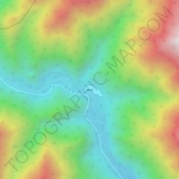
Name: 南代 topographic map, elevation, terrain.
Location: 南代, 独龙江乡, 贡山独龙族怒族自治县, 怒江傈僳族自治州, 云南省, 中国 (28.18145 98.21615 28.22145 98.25615)
Average elevation: 2,839 m
Minimum elevation: 2,254 m
Maximum elevation: 3,781 m
Other topographic maps
Click on a map to view its topography, its elevation and its terrain.