
Cerro el Púlpito topographic map
Interactive map
Click on the map to display elevation.
About this map
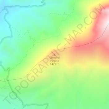
Name: Cerro el Púlpito topographic map, elevation, terrain.
Location: Cerro el Púlpito, Cambil, Jaén, Andalucía, 23120, España (37.72077 -3.56260 37.72087 -3.56250)
Average elevation: 1,181 m
Minimum elevation: 820 m
Maximum elevation: 1,756 m