Geolocate

Oki topographic map

Click on the map to display elevation.

About this map

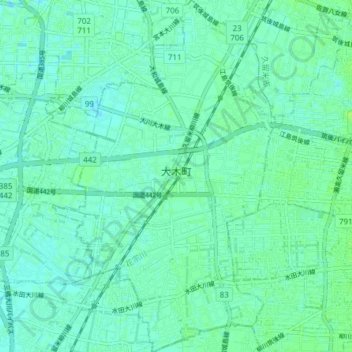
Name: Oki topographic map, elevation, terrain.

Location: Oki, Mizuma County, Fukuoka Prefecture, 830-0424, Japan (33.18122 130.41239 33.24521 130.46393)

Average elevation: 4 m

Minimum elevation: -1 m

Maximum elevation: 10 m

Gear up for your next adventure:

🎒Backpack Rain Covers - Universal waterproof covers to protect your gear from downpours
🔋Rechargeable Batteries - Eco-friendly power for headlamps and older GPS units
🧦Hiking Socks - Breathable socks designed to prevent blisters on long walks
📍Handheld GPS Navigators - Reliable satellite navigation for hiking and off-road exploration
📻Hand-Crank Emergency Radios - Stay updated on weather warnings in remote areas

As an Amazon Associate, this site earns from qualifying purchases at no extra cost to you.