
Akuse topographic map
Click on the map to display elevation.
About this map
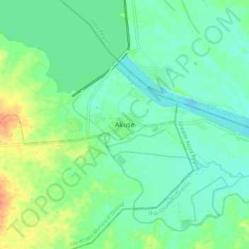
Name: Akuse topographic map, elevation, terrain.
Location: Akuse, Lower Manya Krobo Municipal District, Eastern Region, Ghana (6.06016 0.08753 6.14016 0.16753)
Average elevation: 15 m
Minimum elevation: -2 m
Maximum elevation: 50 m