
Akel topographic map
Interactive map
Click on the map to display elevation.
About this map
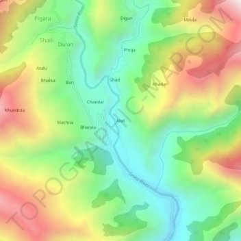
Name: Akel topographic map, elevation, terrain.
Location: Akel, Dulan, Bani, Kathua District, Jammu and Kashmir, India (32.73141 75.78964 32.77141 75.82964)
Average elevation: 1,823 m
Minimum elevation: 1,347 m
Maximum elevation: 2,524 m