
Elstal topographic map
Interactive map
Click on the map to display elevation.
About this map
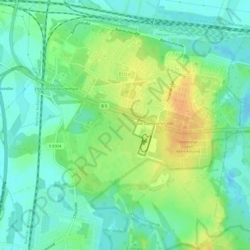
Name: Elstal topographic map, elevation, terrain.
Location: Elstal, Wustermark, Havelland, Brandenburg, Germany (52.51748 12.97076 52.55039 13.01908)
Average elevation: 40 m
Minimum elevation: 27 m
Maximum elevation: 60 m
Other topographic maps
Click on a map to view its topography, its elevation and its terrain.
Falkensee
Germany > Brandenburg > Havelland
Falkensee, Havelland, Brandenburg, 14612, Germany
Average elevation: 34 m