
Guider topographic map
Interactive map
Click on the map to display elevation.
About this map
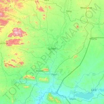
Name: Guider topographic map, elevation, terrain.
Location: Guider, Mayo-Louti, North, Cameroon (9.56581 13.61912 10.24809 14.04393)
Average elevation: 403 m
Minimum elevation: 215 m
Maximum elevation: 1,150 m
Other topographic maps
Click on a map to view its topography, its elevation and its terrain.