
Braggio topographic map
Interactive map
Click on the map to display elevation.
About this map
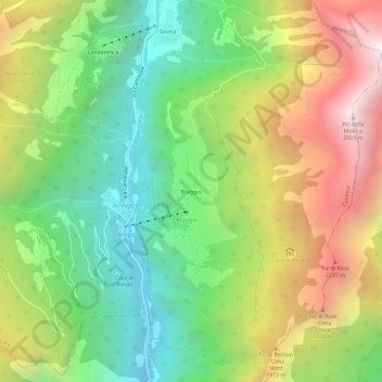
Name: Braggio topographic map, elevation, terrain.
Location: Braggio, Arvigo, Calanca, Moësa, Graubünden, 6544, Schweiz (46.28335 9.10421 46.32335 9.14421)
Average elevation: 1,521 m
Minimum elevation: 755 m
Maximum elevation: 2,613 m
Der Ort liegt auf einer Terrasse 500 Höhenmeter linksseitig über dem Talgrund des Calancatals. Vom gesamten ehemaligen Gemeindegebiet von 688 ha sind 462 ha von Wald und Gehölz bedeckt. Weitere 154 ha sind unproduktive Fläche (meist Gebirge), 66 ha landwirtschaftliche Nutzfläche und 6 ha Siedlungsfläche.