
Pecalukan topographic map
Interactive map
Click on the map to display elevation.
About this map
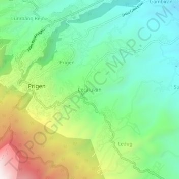
Name: Pecalukan topographic map, elevation, terrain.
Location: Pecalukan, Pasuruan, East Java, Indonesia (-7.71755 112.62460 -7.67755 112.66460)
Average elevation: 676 m
Minimum elevation: 353 m
Maximum elevation: 1,324 m
Other topographic maps
Click on a map to view its topography, its elevation and its terrain.