
Dieren topographic map
Interactive map
Click on the map to display elevation.
About this map
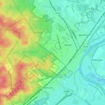
Name: Dieren topographic map, elevation, terrain.
Location: Dieren, Rheden, Geldern, Niederlande (52.02899 6.03505 52.06905 6.11752)
Average elevation: 27 m
Minimum elevation: 2 m
Maximum elevation: 75 m