
Vinings topographic map
Interactive map
Click on the map to display elevation.
About this map
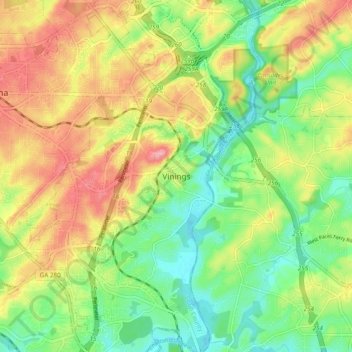
Name: Vinings topographic map, elevation, terrain.
Location: Vinings, Cobb County, Georgia, 30339, United States (33.82483 -84.50437 33.90483 -84.42437)
Average elevation: 281 m
Minimum elevation: 228 m
Maximum elevation: 346 m