
Çagllavicë (Prishtinë) topographic map
Interactive map
Click on the map to display elevation.
About this map
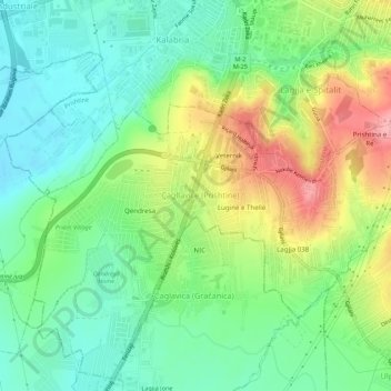
Name: Çagllavicë (Prishtinë) topographic map, elevation, terrain.
Location: Çagllavicë (Prishtinë), Municipality of Pristina, 2071, Kosovo (42.60757 21.12917 42.64757 21.16917)
Average elevation: 597 m
Minimum elevation: 553 m
Maximum elevation: 672 m