
Town of Lake Mills topographic map
Interactive map
Click on the map to display elevation.
About this map
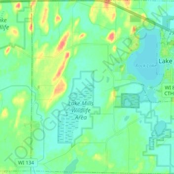
Name: Town of Lake Mills topographic map, elevation, terrain.
Average elevation: 262 m
Minimum elevation: 249 m
Maximum elevation: 302 m
Other topographic maps
Click on a map to view its topography, its elevation and its terrain.
Jefferson County
United States > Wisconsin > Jefferson County
Jefferson County, Wisconsin, United States
Average elevation: 256 m
Watertown
United States > Wisconsin > Jefferson County > Watertown
Watertown, Jefferson County, Wisconsin, 53094, United States
Average elevation: 258 m