
Cosío topographic map
Interactive map
Click on the map to display elevation.
About this map
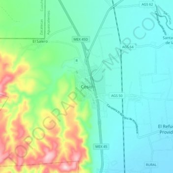
Name: Cosío topographic map, elevation, terrain.
Location: Cosío, Aguascalientes, 20469, México (22.32640 -102.34037 22.40640 -102.26037)
Average elevation: 2,035 m
Minimum elevation: 1,943 m
Maximum elevation: 2,313 m