
Nounsavath topographic map
Interactive map
Click on the map to display elevation.
About this map
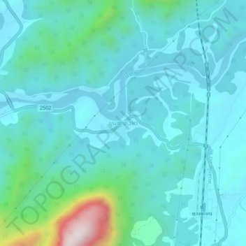
Name: Nounsavath topographic map, elevation, terrain.
Location: Nounsavath, Luang Prabang District, Luang Prabang, Laos (19.86142 102.17992 19.90142 102.21992)
Average elevation: 392 m
Minimum elevation: 281 m
Maximum elevation: 1,002 m
Other topographic maps
Click on a map to view its topography, its elevation and its terrain.
Luang Prabang
Laos > Luang Prabang > Luang Prabang District
Luang Prabang, Luang Prabang District, Luang Prabang, 10000, Laos
Average elevation: 557 m