
Polac topographic map
Interactive map
Click on the map to display elevation.
About this map
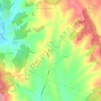
Name: Polac topographic map, elevation, terrain.
Location: Polac, Municipality of Skënderaj / Srbica, 41000, Kosovo (42.71204 20.80222 42.75204 20.84222)
Average elevation: 664 m
Minimum elevation: 593 m
Maximum elevation: 741 m