
Long Binh topographic map
Interactive map
Click on the map to display elevation.
About this map
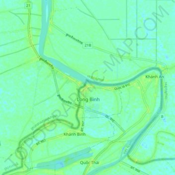
Name: Long Binh topographic map, elevation, terrain.
Location: Long Binh, An Phú District, An Giang Province, Vietnam (10.91343 105.04339 10.99343 105.12339)
Average elevation: 5 m
Minimum elevation: -3 m
Maximum elevation: 14 m