
San Pedro de Iguaque (Chíquiza) topographic map
Interactive map
Click on the map to display elevation.
About this map
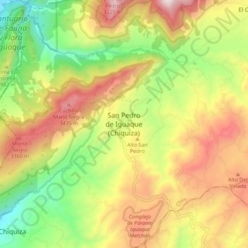
Name: San Pedro de Iguaque (Chíquiza) topographic map, elevation, terrain.
Average elevation: 2,990 m
Minimum elevation: 2,428 m
Maximum elevation: 3,617 m